3D MEASUREMENT SOLUTIONS
LASER SCANNING PHOTOGRAMMETRY BIM MODELING CAD DRAWINGS LAND SURVEYING
Frequently asked questions
-
Laser scanning is a technology or process for gathering spatial data using coordinate measuring machines or laser scanners. During operation, the scanner records the coordinates of surface points illuminated by its measuring beam. Measurements occur at high speed — up to 2 million points per second. The result of such measurements is a point cloud from laser scanning — a large dataset with coordinates of points in space. These data enable the description of the actual geometry of the measured object and its dimensions. Subsequently, point clouds are processed in specialized software, and dimensional drawings or 3D models to scale are generated based on them.
-
The application field of laser scanning is quite extensive:
—Design — measuring apartments or houses, 3D modeling based on scanning results.
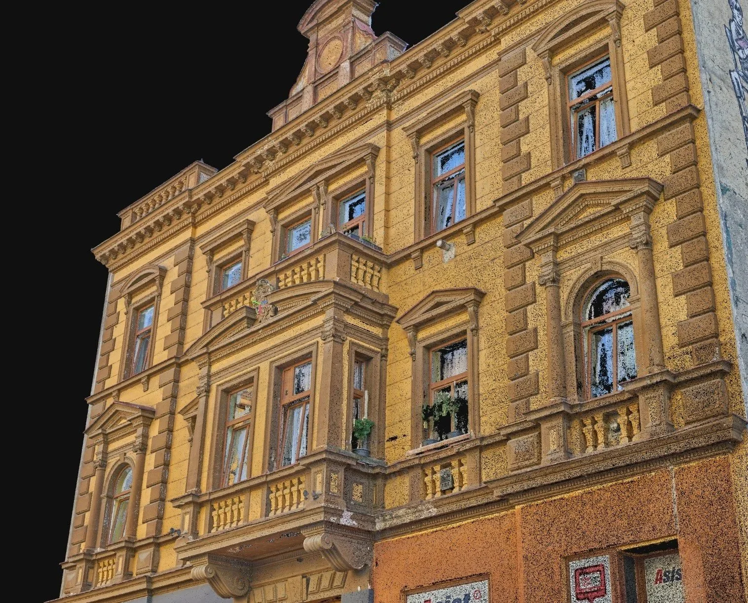
—Building restoration or reconstruction, preservation cultural heritage objects — measurements of facades, roofs, or interior spaces of buildings, identifying major facade damages.
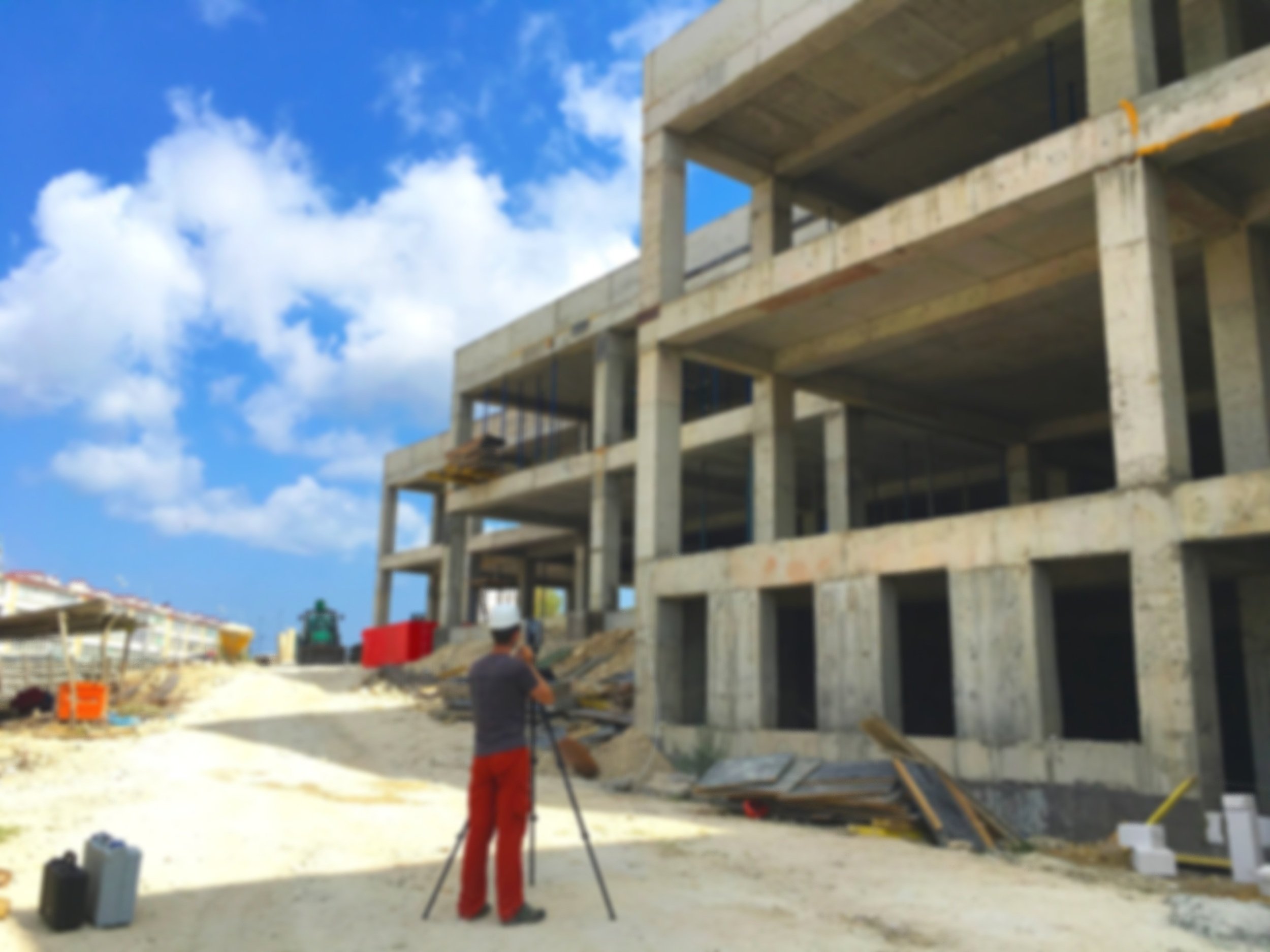
—Construction — facade scanning for installation of ventilated systems or panels, executive survey and calculation of work area or volume.
—Building inspection — determining deviations of load-bearing monolithic structures from vertical or the project, restoring lost building drawings, determining volumes for demolition of structures.
—Metrology — tank calibration and calculation of calibration tables.
-
The cost of laser scanning depends on many factors and is often calculated for each individual project. In particular, the price depends on: the total area of the scanned premises, the configuration and number of rooms, the complexity of the building facades with architectural elements and decor, the need to scan in color or grayscale, the final accuracy of the measured drawings, their further application, the scope of work, the distance to the object from Prague, and other factors. All these aspects should be reflected in the Technical Task for the production of laser scanning works to avoid misunderstandings between the customer and the performer in the future. For a preliminary cost estimate of measurements or scanning, we need the following information:
—For interior spaces — total area, cadastral data or project drawings, purpose of scanning, construction stage of the object, address.
—For building facades — total facade area or building perimeter and number of floors, purpose of scanning, photographs, list of details, templates, etc. for drawing in an enlarged scale, address.
-
As a result of laser scanning works, depending on the task our clients can get:
—Color or black-and-white point cloud of laser scanning in the required format.
—Floor-by-floor 2D plan with axes, dimensions, and references marked.
—Architectural facade drawing of the building.
—Drawing of a detail, fragment, template, or facade element.
—Roof or attic measurement drawing with the rafter system.
—Longitudinal or cross-section of the building.
—Wall sweeps with the layout of engineering communications.
—3D model with rooms, furniture, engineering communications for AutoCAD, SketchUp, Revit, ArchiCAD.
—Report on the results of the executive survey with area (m2) or volume (m3) calculations.
—High-polygonal mesh models.
—Elevation deviation chart in color. Wall, or slab unevenness.
—Report on the required volume of plaster or repair mixture for wall/floor leveling.
—Your option*.
-
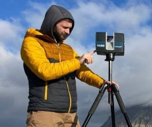
The accuracy of scanning, as well as the drawings obtained from laser scanning, directly depends on the technical characteristics of the equipment used — terrestrial laser scanner. We keep up with modern trends in the field of 3D measurements and use the most suitable scanners according to the tasks and requirements of the technical assignment. The measurement accuracy of our scanners is 1mm at a distance of up to 25m, with noise levels up to 1mm. Regular equipment testing, engineer expertise, periodic calibration of the scanner and auxiliary measurement tools ensure the accuracy of room measurement drawings up to 3mm and facades up to 5mm.
-
Laser scanning works are typically divided into two stages: fieldwork and post-processing. Fieldwork involves the actual scanning on-site, while post-processing entails processing the results of laser scanning into drawings, 3D models, and other deliverables. Depending on factors influencing productivity, we can scan between 1000 to 3000 square meters of space within an 8-hour workday.
Factors influencing fieldwork in laser scanning:
—Purpose and objective of the survey
—Quality and density of the final point cloud
—Equipment performance
—Area of the surveyed object
—Number of rooms per unit area (for the same area, a multi-apartment building takes longer to scan than an open-plan warehouse)
—Crowdedness and presence of foreign objects
The time required for post-processing of scanning results depends on:
—Objectives and goals of the measurements
—Area of the measured object
—Quantity, scale, and detail of drawings
—Resolution of orthophotos
—Level of detail in the 3D model - LOD (100-400)
-
We conduct measurements using 3D laser scanning in Prague, Czech Republic, Germany, Italy, as well as in all countries of the European Union.
LAVA Scan
For over 10 years, our team of engineering enthusiasts has been dedicated to laser scanning buildings, premises, and territories of any complexity, with subsequent processing into drawings and 3D models.
Advancing our experience in scan processing and employing innovative data acquisition techniques for more detailed facade drawings, we are now capable of performing scanning, photogrammetry, and drawing processing even for the most intricate building facades.
A responsible and competent approach to every task, swift problem-solving, and precise outcomes form the cornerstone of our success.
Measurements of buildings and premises of any type in the Czech Republic, Germany, Italy, and the EU.
-

Vadym Yeromenko
FOUNDER
Responsible approach to every project. Let us help you turn your ideas into reality.
-

Lalita Yeromenko
PROJECT MANAGER
Competently organize the work process, perform the work as efficiently and quickly as possible.
-

Alex Golodnyk
LEAD ENGINEER
We use the appropriate equipment and methodology in accordance with the tasks.
-

Andrey Kourov
BIM ENGINEER
Many years of experience with different software allows us to optimize the workflow.
Contact us
lava.3dscan@gmail.com
+420 607-186-658
19000, Strnadových 1007/5,
Vysočany, Praha 9


