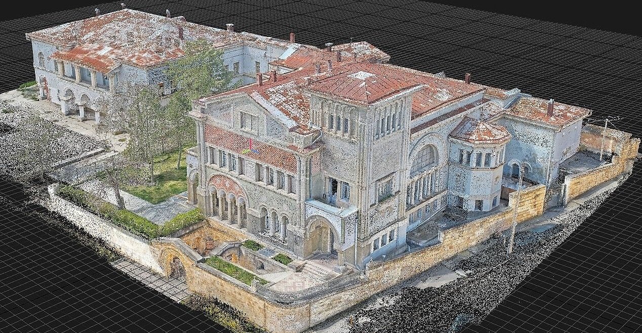
Photogrammetry
Perform engineering photogrammetry work for surveys, design, building restoration, as well as in the field of geodesy and topography
Experienced specialists will perform measurement works of hard-to-access areas or buildings and structures, create an accurate 3 dimensional model of the object. A model of existing buildings and structures, created by photogrammetry or a combined method (laser scanning + photogrammetry), will be a great foundation for further work in the field of reconstruction, engineering and design.
Creation of topo-plans and terrain digital elevation models using photogrammetry for surveyors, topographers, landscape designers. This technology allows significantly increase the speed of production processes for specialists in these areas. Photogrammetry in Prague, Czech Republic, and all over Europe.
Benefits of photogrammetry
Possibility of use over a large area
1
Application in challenging mountainous terrain
2
Short terms of collecting initial data for processing
3
Perfect complement to terrestrial laser scanning
4
Area of use:
Architectural landmarks and small architectural forms
Geodesy and topography
Digitization of small objects with texture preservation
As a result you get:
Object point cloud
Ortho-images of the subject
Digital elevation model
Digital terrain model


